
|
|
|
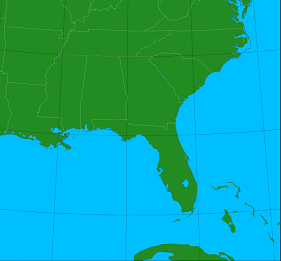
How do I create these forecasts? I download a regional subset of the 31 members of the Global Ensemble Forecast System (GEFS). From each GEFS member, I initialize a Weather Research and Forecast (WRF) model simulation covering the southeast United States at a medium horizontal resolution. From the WRF WRF 1-hourly output, I pull point forecasts for each ensemble member. From the plots below you can judge both the mean forecast and the dispersion within the ensemble. Currently, these jobs are run from the 0000 UTC and 1200 UTC data cycles. | 
|
Status of WRF simulations and processing:
31 ensemble members complete for 00Z cycle.
| Wind vector and speed |
 |
| Sea level pressure and precipitation |
 |
| Surface temperature |
 |
Contact Steve at Dr. Stephen Masters Consulting if you would like to discuss the implementation of this WRF forecast ensemble for your specific region.